
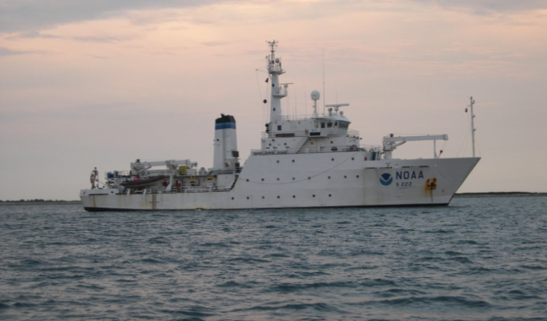

NOAA Begins 2026 Hydrographic Mapping Work on Great Lakes
Western Lake Erie has not been surveyed since the 1940s. This portion of Lake Erie is one of the shallowest areas within the Great Lakes marine transportation system and is a popular navigation channel used by commercial and recreational vessels. NOAA’s seafloor mapping surveys help to reduce vessel collisions, identify seafloor dangers and facilitate more efficient fishing operations.
According to NOAA, the Great Lakes are the least mapped region in the United States, with only 17% of the waters mapped.
Feature photo credit: Personnel of NOAA Ship Thomas Jefferson

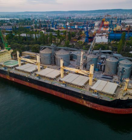
Building the Case for Resilient Great Lakes Ports
Resilience is the ability of organizations, communities, ecosystems and economies to anticipate, absorb or recover from the effects of climate-related hazards. According to the Intergovernmental Panel on Climate Change (IPCC),... Read More
NOAA Begins 2026 Hydrographic Mapping Work on Great Lakes
For the first time since 2022, the National Oceanic and Atmospheric Administration is conducting mapping operations across portions of Lakes Erie, Huron, Michigan and Superior. The NOAA Ship Thomas Jefferson returned to the Great Lakes... Read More